
Sacred Valley and Short Inca Trail 3 Days 2 Nights Map
 The Sacred Valley and Short Inca Trail 3 Days 2 nights Map is one of the most complete experiences in Cusco, as it integrates culture, archaeology, and adventure in a single journey.
What makes it special, and for that reason we created a detailed map, is that the traveler can clearly visualize the key points of each day: altitudes, distances, and estimated times.
This tool not only makes planning easier but also offers a real idea of what will be experienced on the way to Machu Picchu.
Why is The Route Map Important?
A map of the Sacred Valley and Short Inca Trail allows you to:
- Identify the main stops in the Sacred Valley: Taray Viewpoint, Pisac, Urubamba, and Ollantaytambo.
- Understand the altitude of each point to prepare physically.
- Locate the starting point of the Short Inca Trail at Km 104 and follow the route toward Wiñaywayna.
- See the entrance to Machu Picchu through the Sun Gate (Inti Punku).
- Better organize your luggage and manage your effort, thanks to the indicated times and distances.
These maps are usually available on tour operator websites such as Cusco Journeys and are an indispensable complement to the written itinerary.
Itinerary with Map: Sacred Valley + Short Inca Trail (3 days)
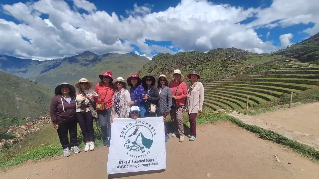 Here you can see the itinerary with the map, combining the Sacred Valley and the Short Inca Trail to Machu Picchu in 3 days.
Day 1: Sacred Valley – Ollantaytambo
The map shows the stops at Taray Viewpoint, Pisac, the Maras salt mines, the Moray terraces, and the Ollantaytambo fortress. The day ends with a night in Ollantaytambo or transfer to Aguas Calientes.
- Difficulty level: easy
- Estimated time: half day
Day 2: Short Inca Trail – Machu Picchu
From Km 104 (Chachabamba), the route marked on the map passes through Wiñaywayna and reaches the Sun Gate (Inti Punku), with the first panoramic view of Machu Picchu. After the hike, the descent continues to Aguas Calientes to spend the night.
- Difficulty level: moderate
- Estimated time: full day (6–7 hours of hiking)
Day 3: Machu Picchu – Cusco
The map indicates the bus ascent from Aguas Calientes to Machu Picchu, where a sunrise visit is recommended. Later, the return is by bus and panoramic train to Ollantaytambo, and then by road to Cusco.
- Difficulty level: easy
- Estimated time: half day
Visual Example of the Map
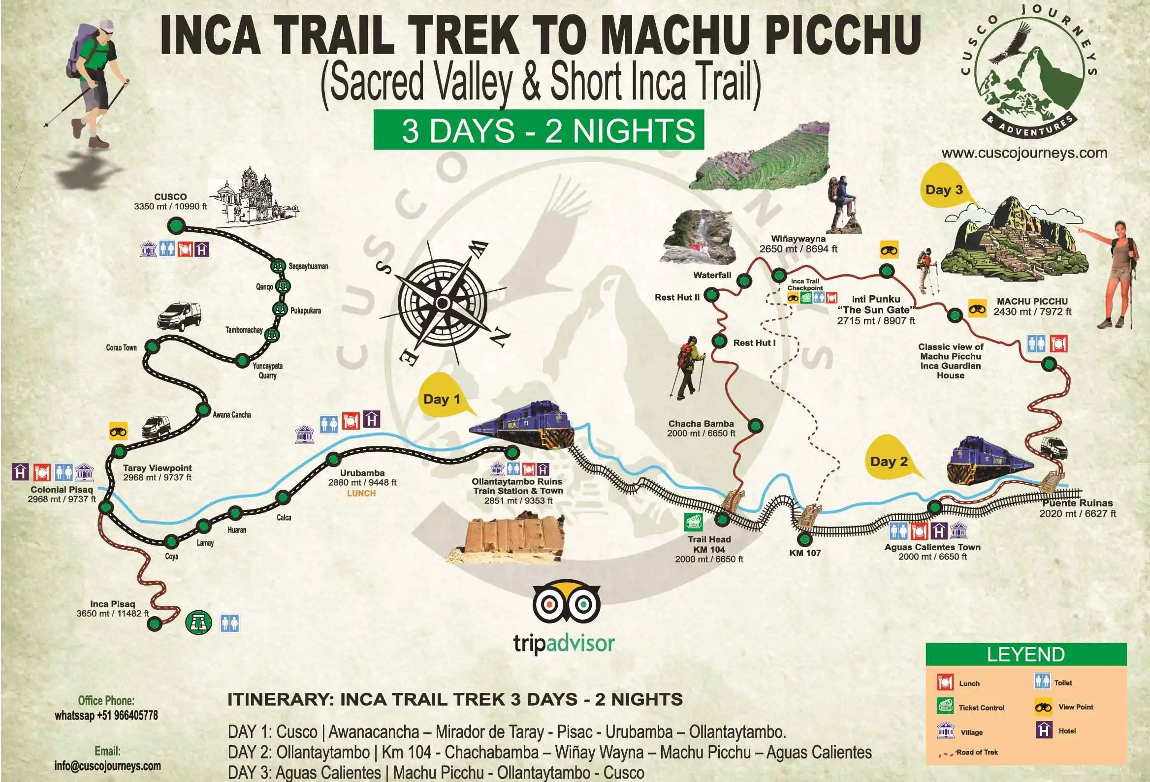 Although the design may vary depending on the agency, a typical map of this route shows in different colors:
- Day 1: cultural and archaeological visits in the Sacred Valley.
- Day 2: 13 km trek from Km 104 to the Sun Gate.
- Day 3: Machu Picchu and the return to Cusco.
In these maps you will also find icons for altitude, distances, and times, which help to prepare both the equipment and the physical condition for each day.
Frequently Asked Questions About The Map and Route
📩 Get in Touch Now | 🌐 Visit Our Website